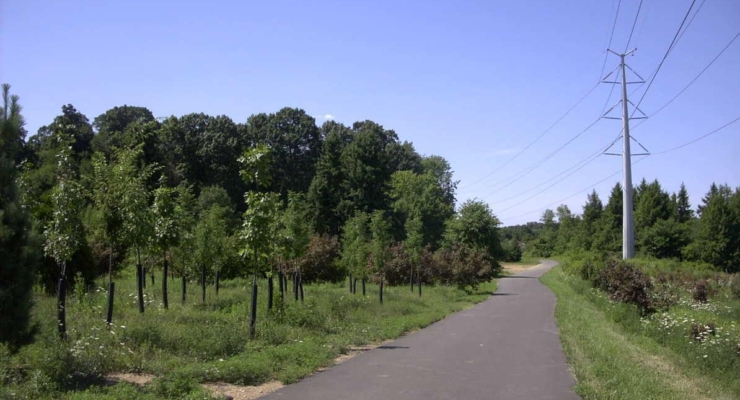
Pennypack Trail

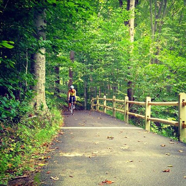
Pennypack Trail | Photo by Thom Carroll
Pennypack Trail
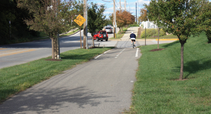
The Pennypack Trail is a 16.8-mile trail and is part of the Circuit Trails network, a system of multi-use trails in the Greater Philadelphia and southern New Jersey region that when finished will include more than 850 miles of trails.
State: Pennsylvania
Location: Montgomery and Philadelphia counties
Trail Length: 16.8 miles
Surface: Asphalt, Boardwalk, Cinder, Crushed Stone
Status: Open for use
Getting to the Trail
Parking and Public Transportation Options
Parking is available at 1750 Byberry Rd (Huntington Valley), 8750 Pine Rd (Philadelphia) or Rhawn St & Holmehurst Ave (Philadelphia).
If you are taking public transportation, the trail can be accessed from SEPTA’s Regional Rail West Trenton, Trenton and Fox Chase lines.
For more information about the trail, visit TrailLink.com.
Explore the Trail
View this post on Instagram
Pennypack Trail Itinerary
Delaware River to Fox Chase Farm Pennypack Valley, Philadelphia
Overview
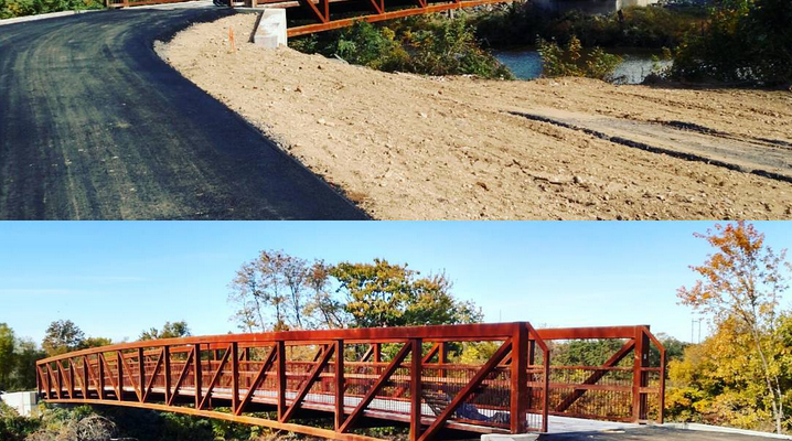
Wind your way through the scenic Pennypack Creek Valley on this 14-mile trail that was once the corridor for the Fox Chase – Newton Branch Line. Cross over a dramatic steel bridge, delight in the stunning beauty of Pennypack Park, spot birds at top birding areas, and see remains of buildings from colonial times. Recently the trail was extended allowing for access to historic Bryn Athyn.
Trail Activities
Events and activities are happening on Circuit Trails around the region all the time. Friends of the Wissahickon, a Circuit Trails Coalition member, often hosts events on the Wissahickon Valley Park Trail – Forbidden Drive. View all upcoming events #OnTheCircuit here.
Email [email protected] with questions or updates to this trail.
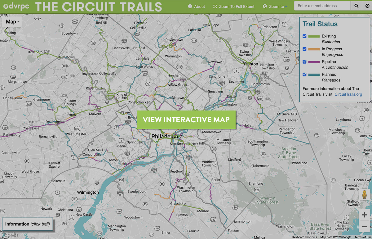
View the Circuit Trails interactive map by DVRPC

Find more trail information and detailed trail maps on TrailLink.com.
Plan your trip on Traillink.com