Brandywine Trail
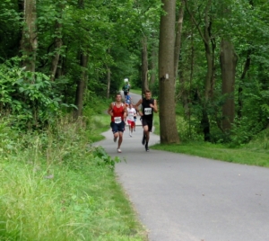
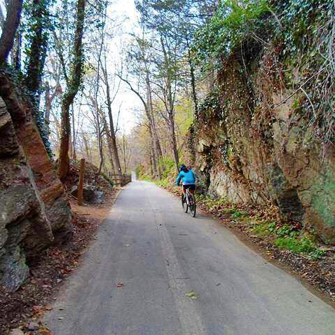
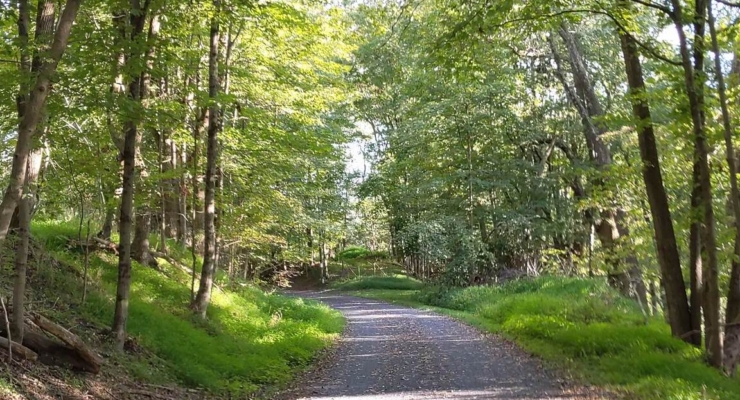
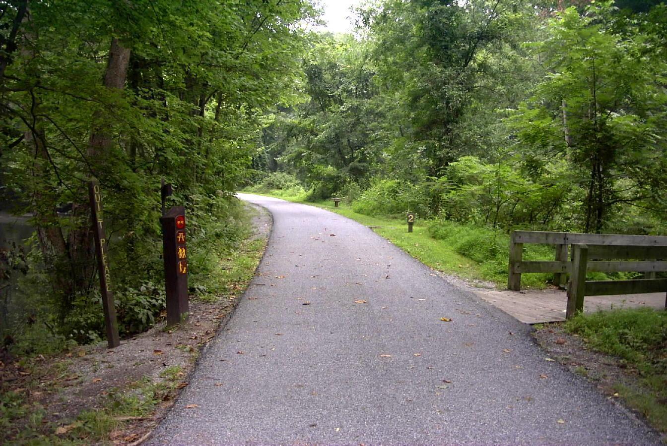
Part of the Brandywine-Struble Recreation Corridor, which extends through Chester County, this 2.5 mile multi-use, paved trail immerses trail users in beautiful natural surroundings. Beginning near the Trestle Bridge south of Downingtown to Skelp Level Road and PA Route 322/Dowingtown Pike (just east of the Sugars Bridge Road intersection), the trail follows its namesake river south along a corridor once utilized by the West Chester Street Trolley. Enjoy a tranquil route that passes through meadows and forests and cross the Brandywine Creek near historic Gibson’s Covered Bridge (also known as Harmony Hill Bridge), a wooden covered bridge built in 1872 that is now listed on the National Register of Historic Places. Stop to explore the M. John Johnson Nature Center, Harmony Hill Nature Area, or dip your toes in the cool river water on a hot summer day. Mountain bikers can branch off on several unpaved routes along the way. To connect with the nearby Struble Trail, at the northern terminus head over the river and travel on-road north along Brandywine Avenue (a busy route) to reach the trailhead in Kardon Park. For a map and other details about sites in the area click here.
Photo: West Chester County Gov.


